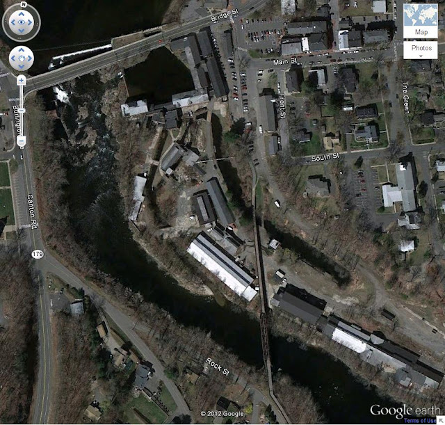
I took some screen grabs of the birds eye view from Google Earth. The place is pretty big. It takes up most of this screen shot, everything just east of the river, south of Bridge St and west of Front St.
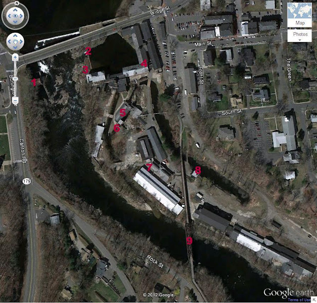
There is more detail available if you zoom in in Google Earth and poke around, but this is as close as I could get and get everything in one shot. And here is one with some labels so you can line the pictures up.
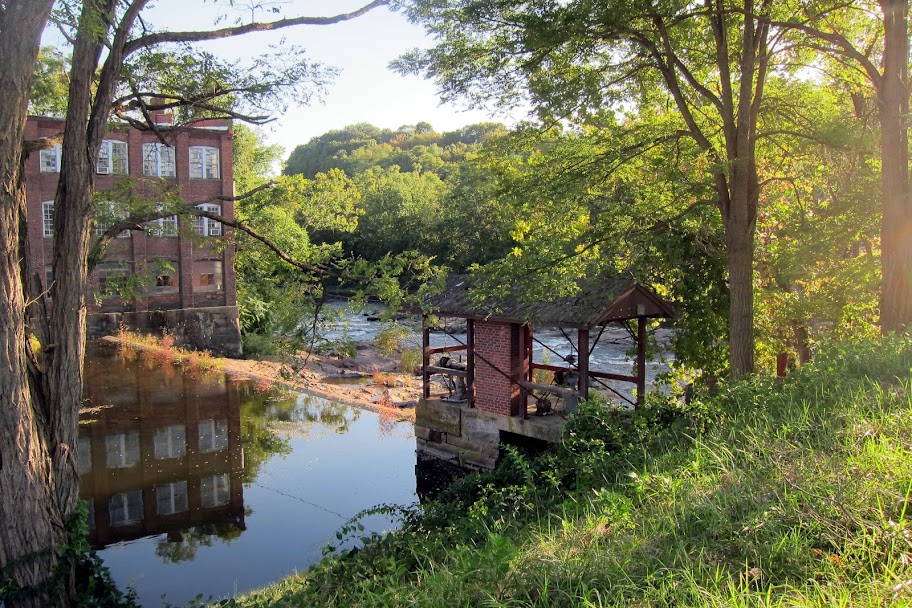
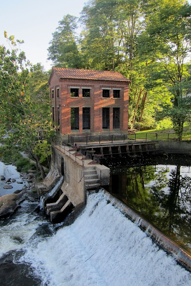
#1 is across the river from all the other buildings and some sort of control house for the generator systems. The Collins Co powered their factories (and town?) with a hydro electric system they built on the river.
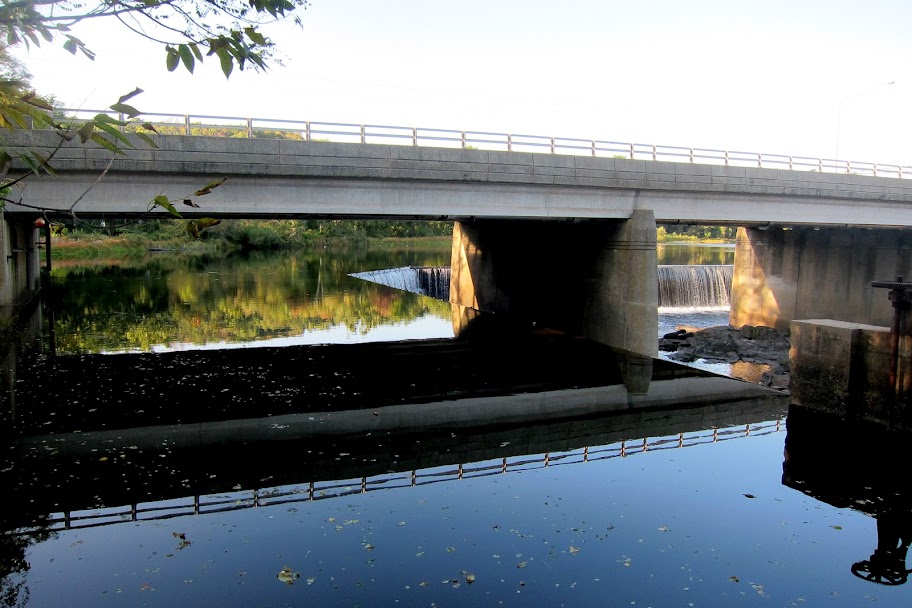
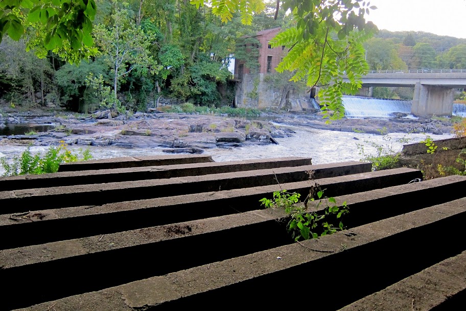
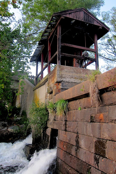
#2 is also part of the dam/hydro electric system. I was able to get down onto the platform there and take some pictures.
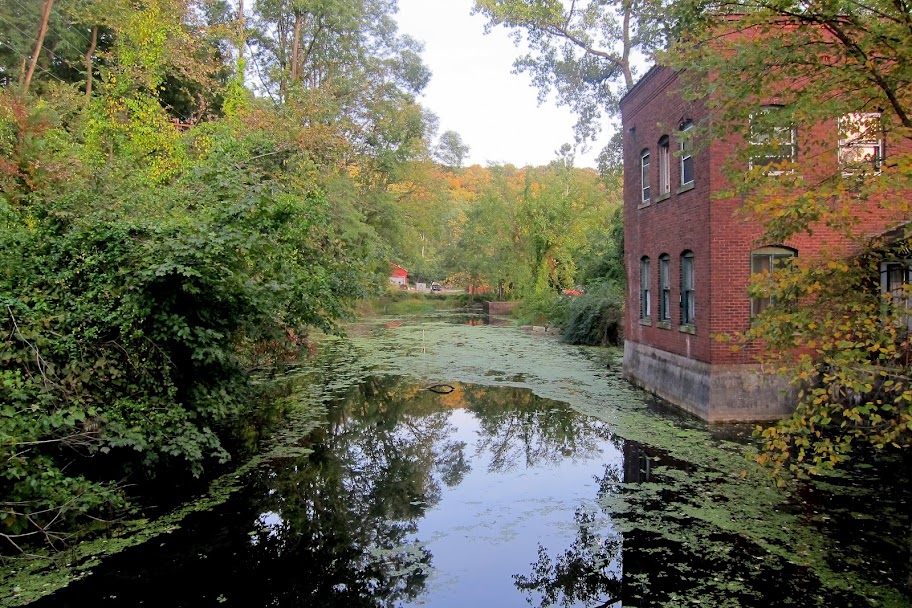
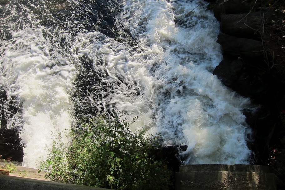
Looking down into the river, calm side:
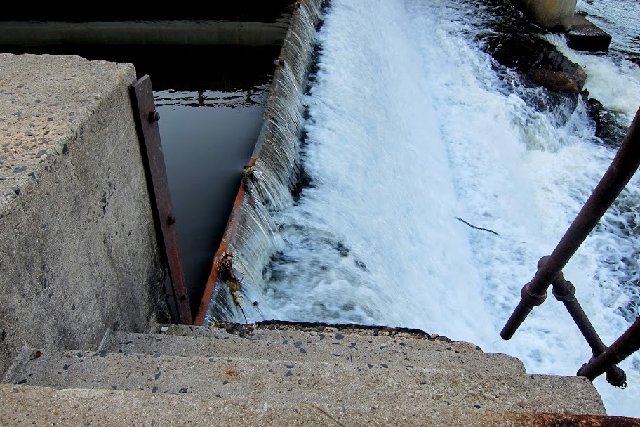
Looking down into the river, not so calm side:
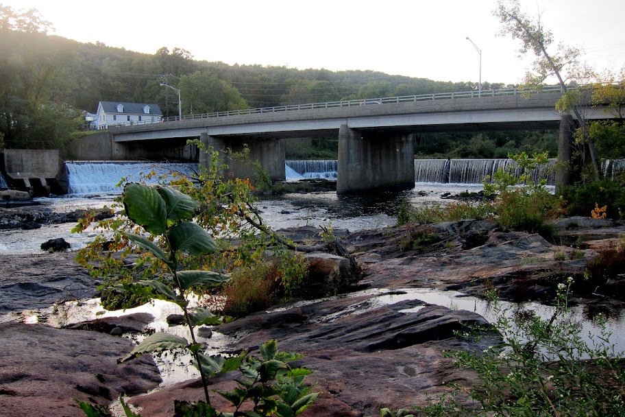
#3 is the rocks in front of the waterfall you see Steeley's photos. The water level was not that high so it was only coming through the tubes (as seen above). The rocks were dry and I was able to walk out onto them and take these photos.
No waterfall:
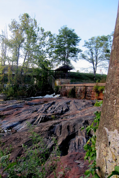
Down on the rocks, #1 is just out of frame to the left:
Looking across the rocks at #2:
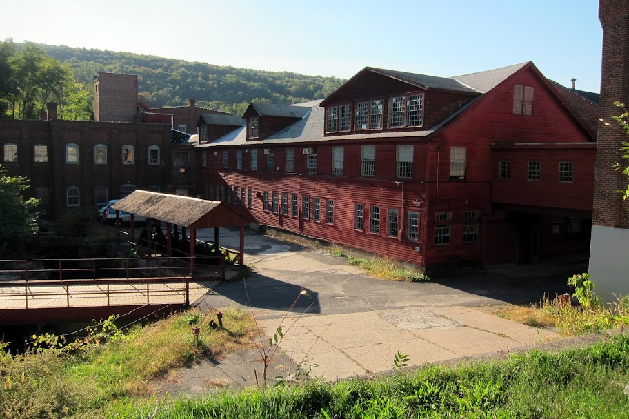
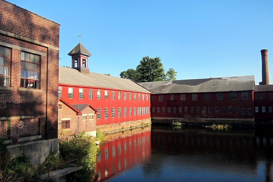
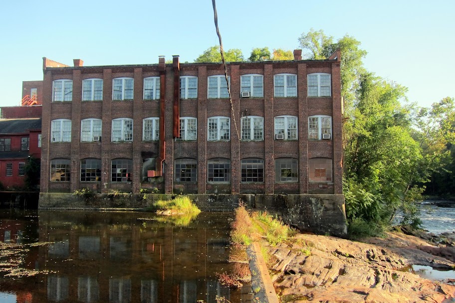
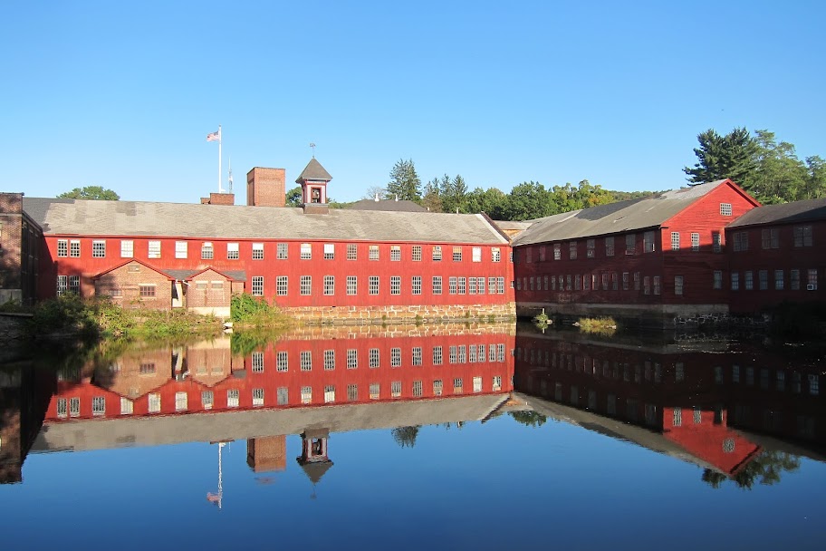
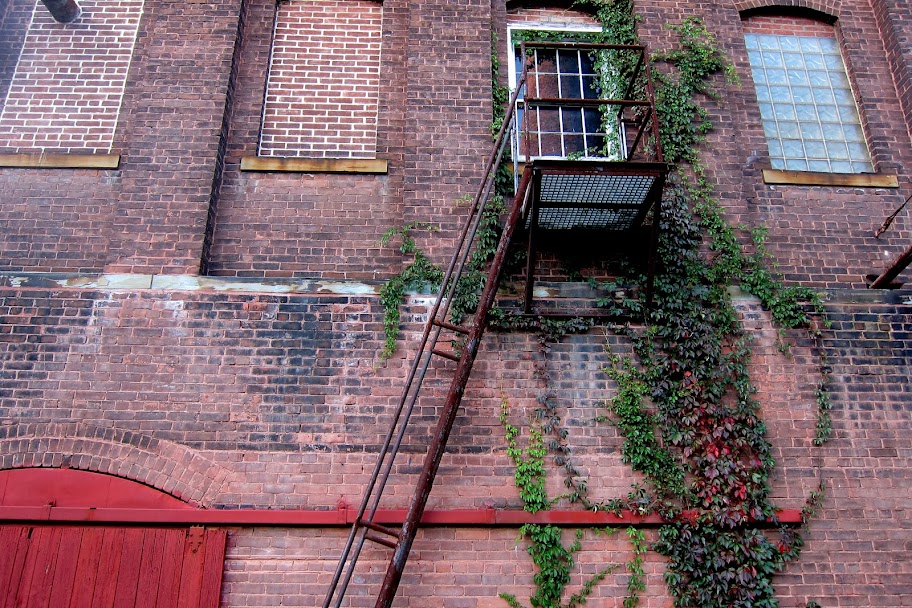
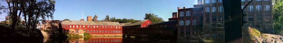
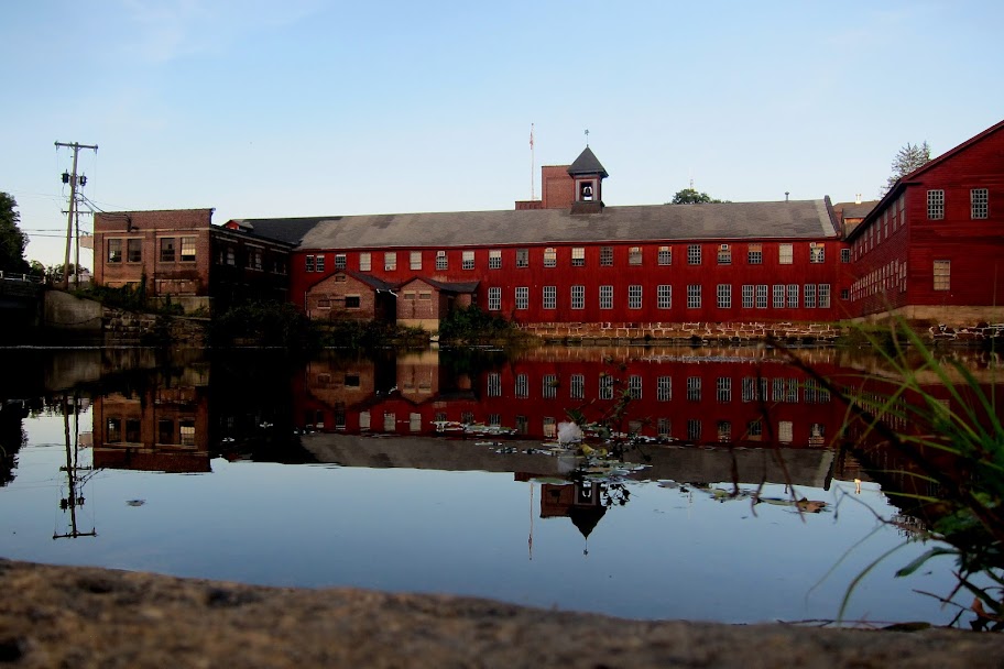
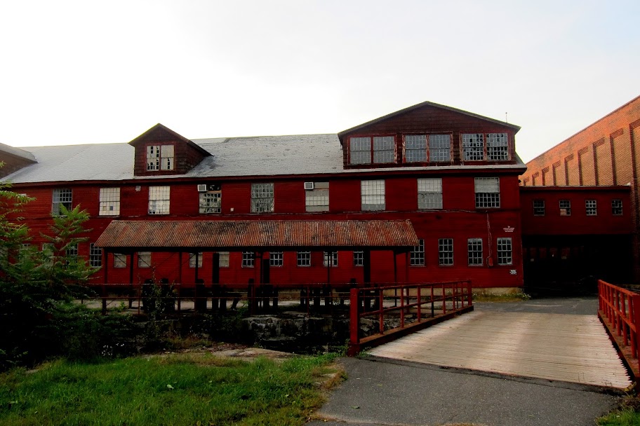
Standing right at the wall looking at both buildings at #4 which are the red and brick buildings you usually see photographs of this place:
Up close look at #2 from the downstream side:
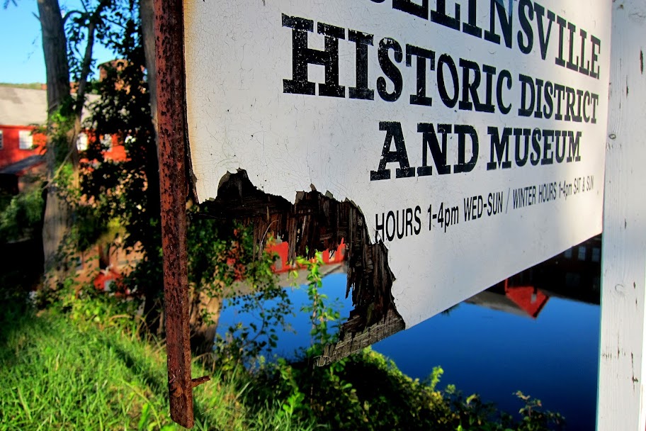
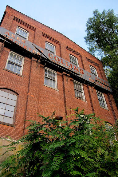
Looking up at the Collin's sign from the rocks:
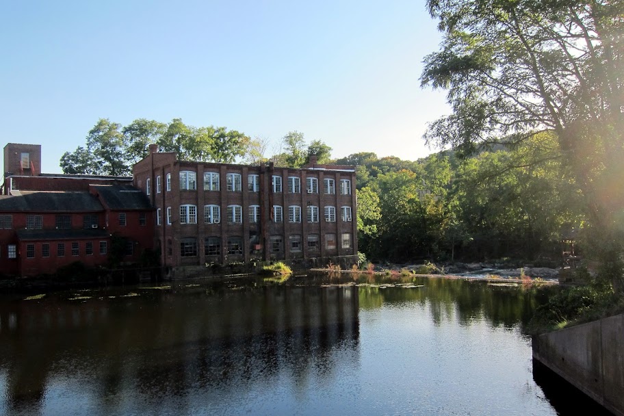
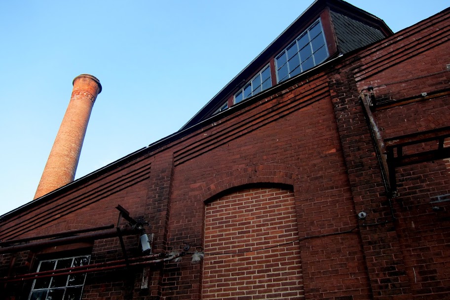
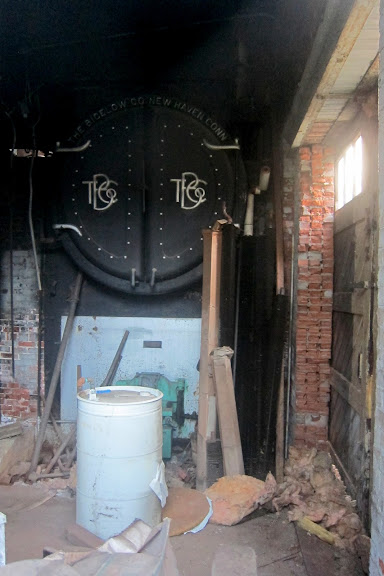
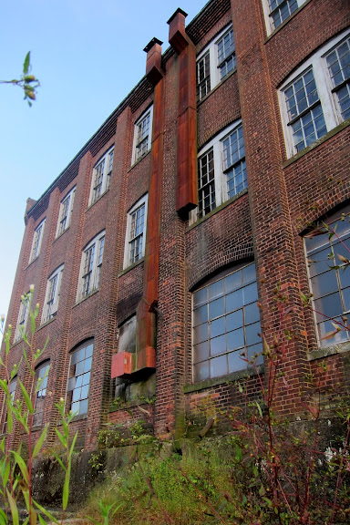
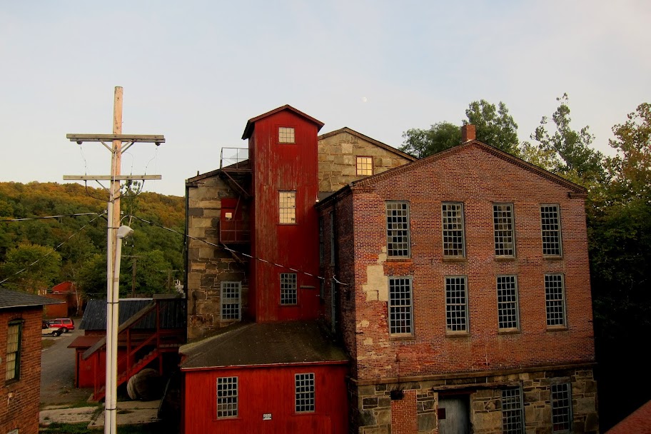
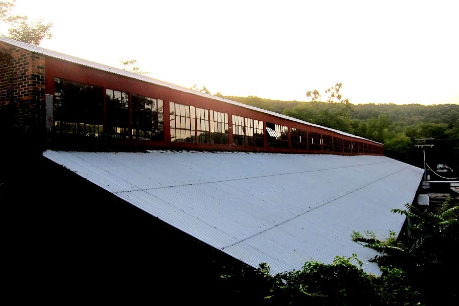
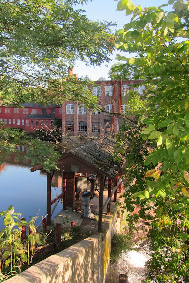
#5 is this building:
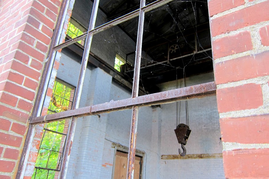
The boilers (I think?) seen here (taken through a window) from The Bigelow Co. in New Haven, CT are inside building #5:
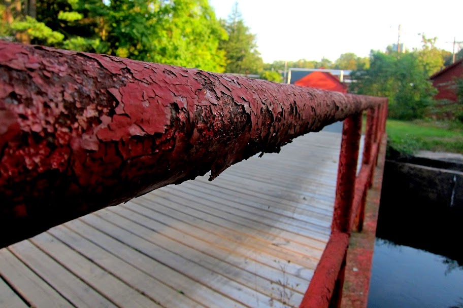
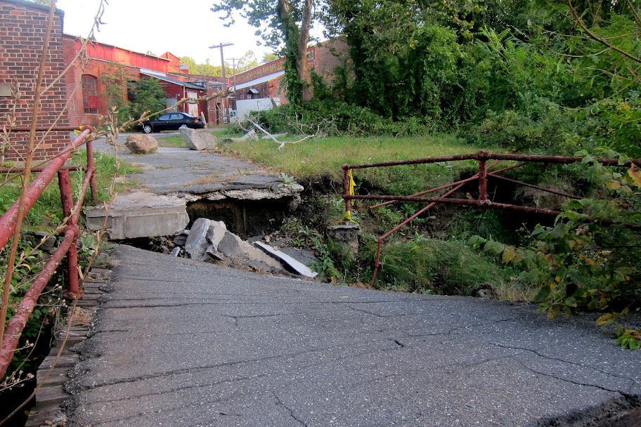
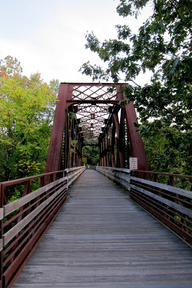
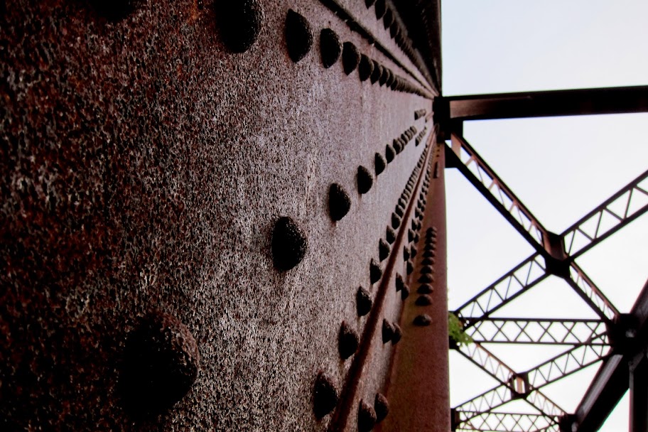
#6 is the busted bridge:
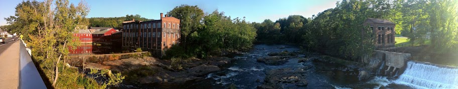
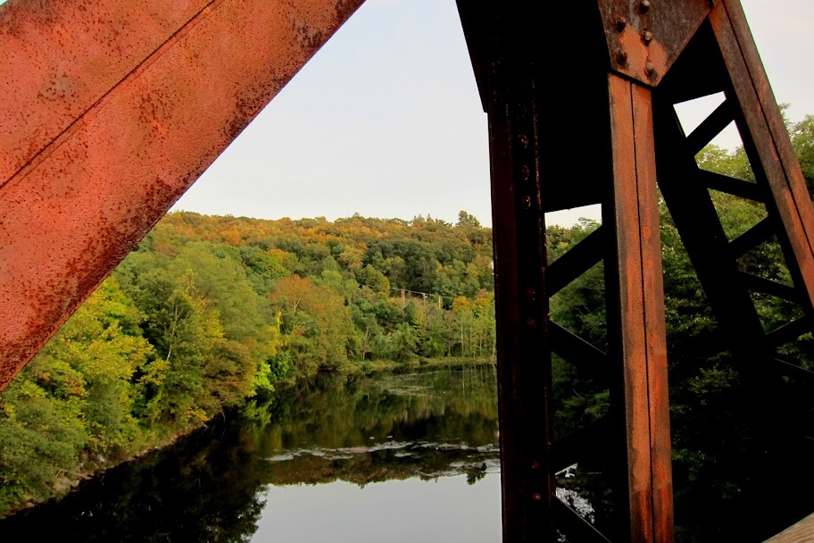
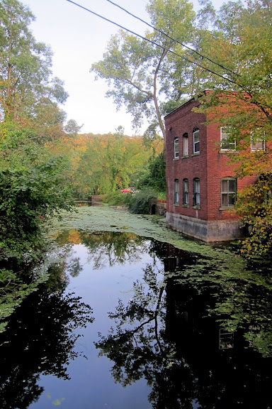
And a shot up river from the busted bridge. Building #5 is the one on the left:
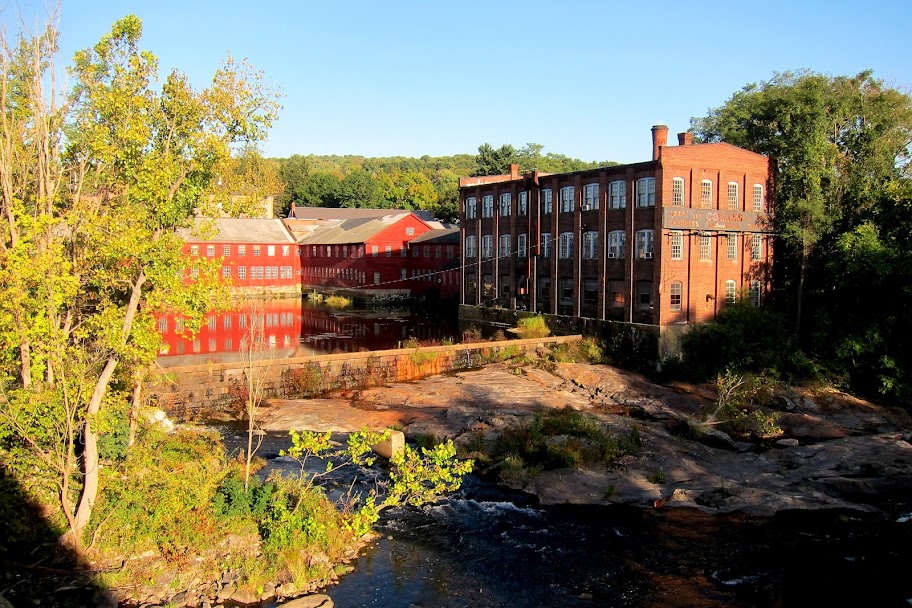
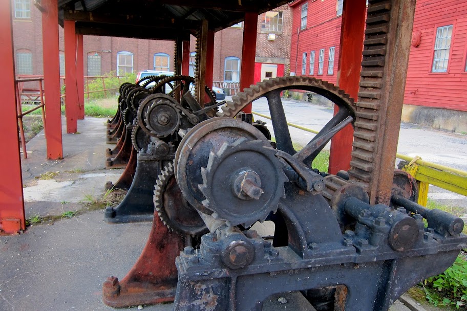
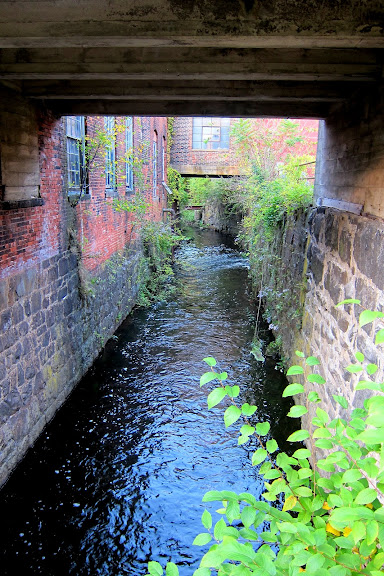
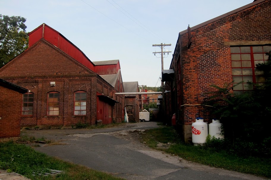
#7 is this alley between buildings, and you can see all the other buildings heading south towards the old railroad bridge. Most of the active wood working and other shops are in these buildings:
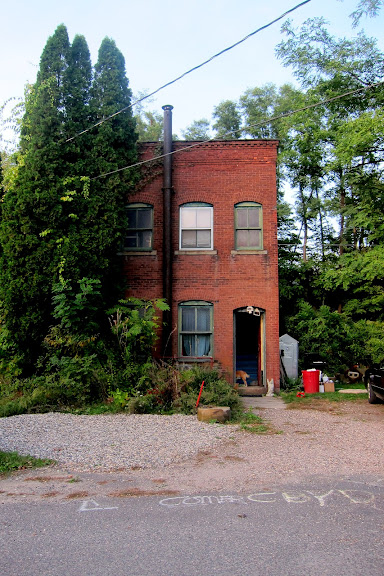
#8 is this awesome little freestanding house/workshop. It looks like the tenant lives there and also does some sort of craft there as well. He was sanding something while I was there. His dogs are friendly:
Backside of building #8:
#9 is the old railroad bridge. No more railroad, but there is a bike path that cross over it now and most of the Farmington Valley, all the way into Massachusetts:
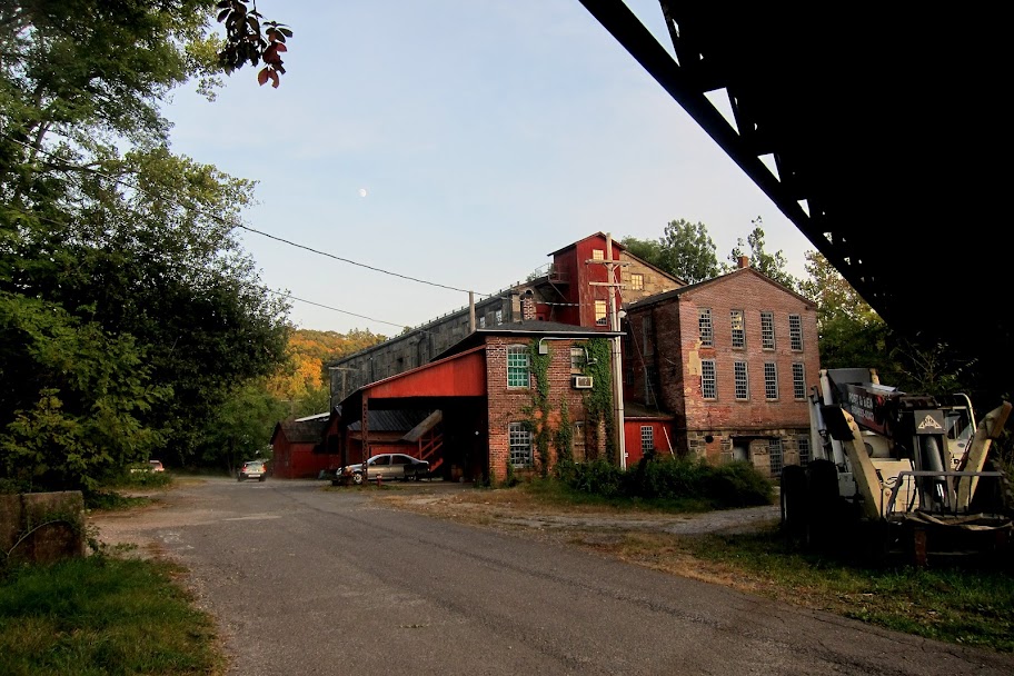
Under the bridge, looking the most south eastern buildings:
And this concludes your tour!


 [/IMG]
 [/IMG]
 [/IMG]